Map Explorer
A browser-based mapping and analytics system for exploring highway inventory, geographic data, market information, and operational data.
Geospatial Calculations
The application combines route geometry with highway inventory data to locate, filter, and visualize roadway segments in an interactive browser map. Geographic calculations are used to relate stored business data to real-world positions along routes.
Multiple Geographic Sources
Mapping data from GeoJSON, KML, external mapping services, and SQL Server is normalized for use in a single interface, allowing operational information to be explored in geographic context.
Geographic Data Made Interactive
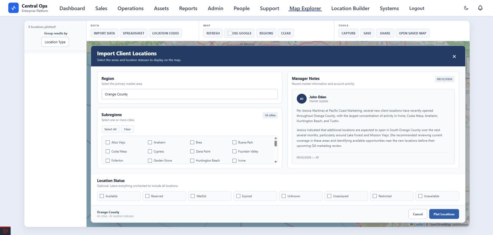
Business Data With Geographic Context
The project combines application development, database work, and GIS concepts to make geographic information directly usable inside day-to-day business workflows.